Catégories à Infanta
Faits sur Infanta
| Région | 0.2 km² |
| Population | 52 |
| Variation de la population (1975 to 2020) | +477.8% |
| Variation de la population (2000 to 2020) | +136.4% |
| Voisinages | Infanta |
| Heure locale | |
| Fuseau horaire | heure normale d’Afrique méridionale |
| Lat. et long. | -34.42086, 20.85426 |
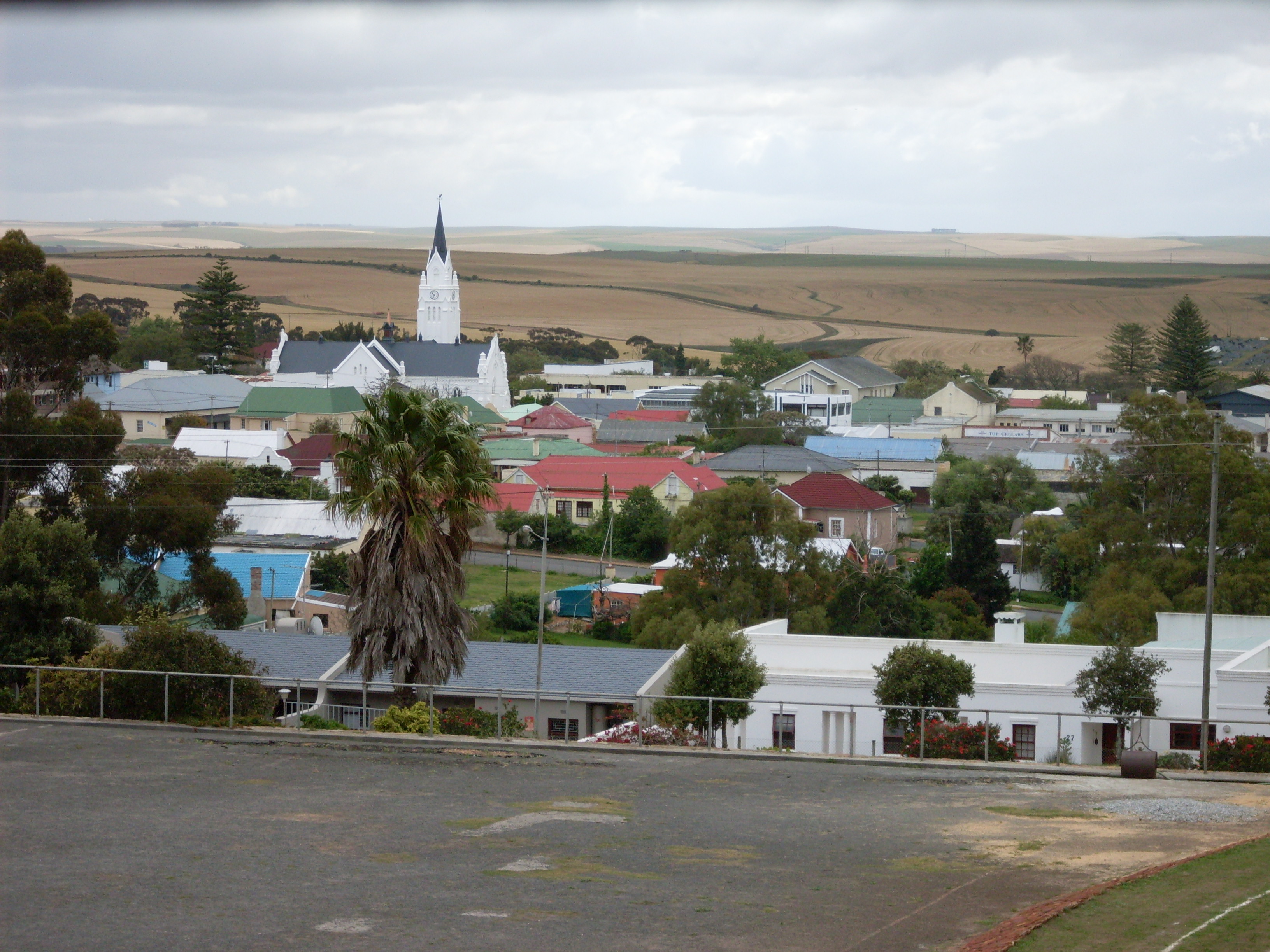
Carte de Infanta
Carte interactive
Population de Infanta
Années 1975 à 2030
| Data | 1975 | 1990 | 2000 | 2015 | 2020 | 2025* | 2030* |
|---|---|---|---|---|---|---|---|
| Population | 9 | 16 | 22 | 31 | 52 | 57 | 62 |
| Densité de population | 48 / km² | 85,3 / km² | 117,3 / km² | 165,3 / km² | 277,3 / km² | 304 / km² | 330,7 / km² |
* Projeté
Sources: JRC (European Commission's Joint Research Centre) travailler sur GHS built-up gridVariation de la population de Infanta de 2000 à 2020
Augmentation de 136.4% de l'année 2000 à 2020
| Lieu | Variation depuis 1975 | Variation depuis 1990 | Variation depuis 2000 |
|---|---|---|---|
| Infanta | +477.8% | +225% | +136.4% |
| Cap occidental | — | — | — |
| Afrique du Sud | — | — | — |
Sources: JRC (European Commission's Joint Research Centre) travailler sur GHS built-up grid
Densité de population de Infanta
Densité de population : 277 / km²
| Lieu | Population | Région | Densité |
|---|---|---|---|
| Infanta | 52 | 0,188 km² | 277 / km² |
| Cap occidental | 6,3 million | 129 462,2 km² | 49 / km² |
| Afrique du Sud | 54,3 million | 1 219 846,5 km² | 44,5 / km² |
Sources: JRC (European Commission's Joint Research Centre) travailler sur GHS built-up grid
Population historique et projetée de Infanta
Population estimée de 0 à 2100
Sources:
- JRC (European Commission's Joint Research Centre) travailler sur GHS built-up grid
- CIESIN (Center for International Earth Science Information Network)
- [Lien] Klein Goldewijk, K., Beusen, A., Doelman, J., and Stehfest, E.: Anthropogenic land use estimates for the Holocene – HYDE 3.2, Earth Syst. Sci. Data, 9, 927–953, https://doi.org/10.5194/essd-9-927-2017, 2017.
Indice de développement humain (IDH)
Indice composite statistique de l'espérance de vie, de l'éducation et du revenu par habitant.
Source: [Lien] Kummu, M., Taka, M. &Guillaume, J. Ensembles de données mondiales en grille pour le Produit Intérieur Brut et l'Indice de Développement Humain sur 1990–2015. Sci Data 5, 180004 (2018) doi:10.1038/sdata.2018.4
Émissions de CO2 de Cap occidental
Émissions de dioxyde de carbone (CO2) par habitant en tonnes par an
| Lieu | Emissions de CO2 | Émissions de CO2 par habitant | Intensité des émissions de CO2 |
|---|---|---|---|
| Cap occidental | 47,665,323 tn | 7.51 tn | 368.2 tons/km² |
| Afrique du Sud | 358,473,408 tn | 6.6 tn | 293.9 tons/km² |
Sources: [Lien] Moran, D., Kanemoto K; Jiborn, M., Wood, R., Többen, J., and Seto, K.C. (2018) Empreintes carbone de 13 000 villes. Environmental Research Letters DOI: 10.1088/1748-9326/aac72a
Émissions de CO2 de Cap occidental
| Émissions de CO2 en 2013 (tonnes/an) | 47,665,323 tn |
| Émissions de CO2 en 2013 (tonnes/an) par habitant | 7.51 tn |
| Intensité des émissions de CO2 en 2013 (tonnes/km²/an) | 368.2 tons/km² |
Risque de dangers naturels
Risque relatif sur 10
| Danger | Niveau de risque |
|---|---|
| Sécheresse | Élevé (10) |
| Tremblement de terre | Faible (2) |
* Les risques, en particulier concernant les inondations ou les glissements de terrain, peuvent ne pas concerner toute la zone.
Sources:
- Dilley, M., R.S. Chen, U. Deichmann, A.L. Lerner-Lam, M. Arnold, J. Agwe, P. Buys, O. Kjekstad, B. Lyon, and G. Yetman. 2005. Natural Disaster Hotspots: A Global Risk Analysis. Washington, D.C.: World Bank. https://doi.org/10.1596/0-8213-5930-4.
- Center for Hazards and Risk Research - CHRR - Columbia University, Center for International Earth Science Information Network - CIESIN - Columbia University, and International Research Institute for Climate and Society - IRI - Columbia University. 2005. Global Drought Hazard Frequency and Distribution. Palisades, NY: NASA Socioeconomic Data and Applications Center (SEDAC). https://doi.org/10.7927/H4VX0DFT.
- Center for Hazards and Risk Research - CHRR - Columbia University, Center for International Earth Science Information Network - CIESIN - Columbia University. 2005. Global Earthquake Hazard Distribution - Peak Ground Acceleration. Palisades, NY: NASA Socioeconomic Data and Applications Center (SEDAC). https://doi.org/10.7927/H4BZ63ZS.

À propos de nos données
Les données de cette page sont estimées à l'aide de divers outils et ressources accessibles au public. Elles sont fournies sans garantie et peuvent contenir des inexactitudes. Utilisez-les à vos risques et périls.