Catégories à Acoua
les industries
Répartition des entreprises par secteur à Acoua
| Description de l'industrie | Nombre d'établissements |
|---|---|
| Restaurants | 12 |
| Éducation | 7 |
Faits sur Acoua
| Région | 10.9 km² |
| Population | 5 461 |
| Population masculine | 2 650 (48.5%) |
| Population féminine | 2 811 (51.5%) |
| Variation de la population (1975 to 2020) | +128.4% |
| Variation de la population (2000 to 2020) | +21.8% |
| Age moyen | 17.9 ans (Hommes : 16.9, Femmes : 18.8) |
| Heure locale | |
| Fuseau horaire | heure normale d’Afrique de l’Est |
| Lat. et long. | -12.72391, 45.05819 |
| Codes Postaux | 97630 |
Carte de Acoua
Carte interactive
Population de Acoua
Années 1975 à 2020
| Data | 1975 | 1990 | 2000 | 2015 | 2020 |
|---|---|---|---|---|---|
| Population | 2 391 | 3 589 | 4 485 | 4 843 | 5 461 |
| Densité de population | 219,9 / km² | 330 / km² | 412,4 / km² | 445,3 / km² | 502,2 / km² |
Sources: JRC (European Commission's Joint Research Centre) travailler sur GHS built-up grid
Variation de la population de Acoua de 2000 à 2015
Augmentation de 8% de l'année 2000 à 2015
| Lieu | Variation depuis 1975 | Variation depuis 1990 | Variation depuis 2000 |
|---|---|---|---|
| Acoua | +102.6% | +34.9% | +8% |
| Mayotte | +428.7% | +154.1% | +60.2% |
Sources: JRC (European Commission's Joint Research Centre) travailler sur GHS built-up grid
Âge médian de Acoua
Âge médian : 17.9 ans
| Lieu | Age moyen | Âge médian (femme) | Âge médian (masculin) |
|---|---|---|---|
| Acoua | 17.9 yrs | 18.8 yrs | 16.9 yrs |
| Mayotte | 17.9 yrs | 18.5 yrs | 17.2 yrs |
Sources: CIESIN (Center for International Earth Science Information Network)
Densité de population de Acoua
Densité de population : 502 / km²
| Lieu | Population | Région | Densité |
|---|---|---|---|
| Acoua | 5 461 | 10,9 km² | 502 / km² |
| Mayotte | 230 119 | 393,8 km² | 584 / km² |
Sources: JRC (European Commission's Joint Research Centre) travailler sur GHS built-up grid
Population historique et projetée de Acoua
Population estimée de 1730 à 2100
Sources:
- JRC (European Commission's Joint Research Centre) travailler sur GHS built-up grid
- CIESIN (Center for International Earth Science Information Network)
- [Lien] Klein Goldewijk, K., Beusen, A., Doelman, J., and Stehfest, E.: Anthropogenic land use estimates for the Holocene – HYDE 3.2, Earth Syst. Sci. Data, 9, 927–953, https://doi.org/10.5194/essd-9-927-2017, 2017.
Indice de développement humain (IDH)
Indice composite statistique de l'espérance de vie, de l'éducation et du revenu par habitant.
Source: [Lien] Kummu, M., Taka, M. &Guillaume, J. Ensembles de données mondiales en grille pour le Produit Intérieur Brut et l'Indice de Développement Humain sur 1990–2015. Sci Data 5, 180004 (2018) doi:10.1038/sdata.2018.4
Risque de dangers naturels
Relative risk out of 10
| Danger | Risk Level |
|---|---|
| Drought | Low (2) |
| Cyclone | High (8) |
* Risk, particularly concerning flood or landslide, may not be for the entire area.
Sources:
- Dilley, M., R.S. Chen, U. Deichmann, A.L. Lerner-Lam, M. Arnold, J. Agwe, P. Buys, O. Kjekstad, B. Lyon, and G. Yetman. 2005. Natural Disaster Hotspots: A Global Risk Analysis. Washington, D.C.: World Bank. https://doi.org/10.1596/0-8213-5930-4.
- Center for Hazards and Risk Research - CHRR - Columbia University, Center for International Earth Science Information Network - CIESIN - Columbia University, International Bank for Reconstruction and Development - The World Bank, and United Nations Environment Programme Global Resource Information Database Geneva - UNEP/GRID-Geneva. 2005. Global Cyclone Hazard Frequency and Distribution. Palisades, NY: NASA Socioeconomic Data and Applications Center (SEDAC). https://doi.org/10.7927/H4CZ353K.
- Center for Hazards and Risk Research - CHRR - Columbia University, Center for International Earth Science Information Network - CIESIN - Columbia University, and International Research Institute for Climate and Society - IRI - Columbia University. 2005. Global Drought Hazard Frequency and Distribution. Palisades, NY: NASA Socioeconomic Data and Applications Center (SEDAC). https://doi.org/10.7927/H4VX0DFT.
Tremblements de terre récents à proximité
Magnitude 3.0 et plus
| Date▼ | Heure↕ | Magnitude↕ | Distance↕ | Profondeur↕ | Lieu↕ | Lien |
|---|---|---|---|---|---|---|
| 7/16/19 | 9:55 PM | 4.1 | 40.8 km | 10,000 m | 15km E of Pamandzi, Mayotte | usgs.gov |
| 7/5/19 | 4:59 PM | 4.4 | 47.1 km | 10,000 m | 21km ESE of Pamandzi, Mayotte | usgs.gov |
| 6/18/19 | 4:57 PM | 4.5 | 42.1 km | 10,000 m | 16km ESE of Pamandzi, Mayotte | usgs.gov |
| 6/16/19 | 7:31 AM | 4.6 | 39.8 km | 10,000 m | 14km E of Pamandzi, Mayotte | usgs.gov |
| 5/25/19 | 1:08 PM | 4.6 | 42.7 km | 10,000 m | 17km E of Pamandzi, Mayotte | usgs.gov |
| 5/23/19 | 1:13 AM | 4.4 | 36.2 km | 10,000 m | 10km ESE of Pamandzi, Mayotte | usgs.gov |
| 5/14/19 | 12:20 AM | 5 | 44.8 km | 10,000 m | 19km ESE of Pamandzi, Mayotte | usgs.gov |
| 5/3/19 | 7:18 AM | 4.8 | 41.6 km | 10,000 m | 15km ESE of Pamandzi, Mayotte | usgs.gov |
| 5/2/19 | 1:13 AM | 4.4 | 37.7 km | 10,000 m | 12km SSE of Bandrele, Mayotte | usgs.gov |
| 4/25/19 | 5:33 AM | 4.3 | 47.9 km | 10,000 m | 22km ESE of Pamandzi, Mayotte | usgs.gov |
Source: U.S. Geological Survey (USGS)
Acoua
Acoua est une commune du département d’outre-mer de Mayotte peuplée de 4 714 habitants en 2012.
Page Wikipédia de Acoua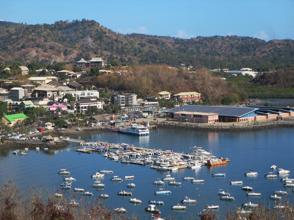
À propos de nos données
Les données de cette page sont estimées à l'aide de divers outils et ressources accessibles au public. Elles sont fournies sans garantie et peuvent contenir des inexactitudes. Utilisez-les à vos risques et périls.