Faits sur Serdar
| Région | 7.9 km² |
| Population | 54 594 |
| Variation de la population (1975 to 2020) | +163.1% |
| Variation de la population (2000 to 2020) | +16.9% |
| Heure locale | |
| Fuseau horaire | heure normale du Turkménistan |
| Lat. et long. | 38.97644, 56.27575 |
Carte de Serdar
Carte interactive
Population de Serdar
Années 1975 à 2020
| Data | 1975 | 1990 | 2000 | 2015 | 2020 |
|---|---|---|---|---|---|
| Population | 20 752 | 40 284 | 46 694 | 51 524 | 54 594 |
| Densité de population | 2 614,4 / km² | 5 075,1 / km² | 5 882,7 / km² | 6 491,2 / km² | 6 878 / km² |
Variation de la population de Serdar de 2000 à 2015
Augmentation de 10.3% de l'année 2000 à 2015
| Lieu | Variation depuis 1975 | Variation depuis 1990 | Variation depuis 2000 |
|---|---|---|---|
| Serdar | +148.3% | +27.9% | +10.3% |
| Balkan (province) | +105.5% | +41.6% | +16.4% |
| Turkménistan | +113.2% | +46.5% | +19.4% |
Densité de population de Serdar
Densité de population : 6 878 / km²
| Lieu | Population | Région | Densité |
|---|---|---|---|
| Serdar | 54 594 | 7,9 km² | 6 878 / km² |
| Balkan (province) | 430 893 | 118 612,8 km² | 3,6 / km² |
| Turkménistan | 5,4 million | 489 356 km² | 11 / km² |
Population historique et projetée de Serdar
Population estimée de 1800 à 2100
- JRC (European Commission's Joint Research Centre) travailler sur GHS built-up grid
- CIESIN (Center for International Earth Science Information Network)
- [Lien] Klein Goldewijk, K., Beusen, A., Doelman, J., and Stehfest, E.: Anthropogenic land use estimates for the Holocene – HYDE 3.2, Earth Syst. Sci. Data, 9, 927–953, https://doi.org/10.5194/essd-9-927-2017, 2017.
Indice de développement humain (IDH)
Indice composite statistique de l'espérance de vie, de l'éducation et du revenu par habitant.
Émissions de CO2 de Serdar
Émissions de dioxyde de carbone (CO2) par habitant en tonnes par an
| Lieu | Emissions de CO2 | Émissions de CO2 par habitant | Intensité des émissions de CO2 |
|---|---|---|---|
| Serdar | 584,938 tn | 10.71 tn | 73,693 tons/km² |
| Balkan (province) | 4,591,342 tn | 10.66 tn | 38.7 tons/km² |
| Turkménistan | 55,152,148 tn | 10.28 tn | 112.7 tons/km² |
| Émissions de CO2 en 2013 (tonnes/an) | 584,938 tn |
| Émissions de CO2 en 2013 (tonnes/an) par habitant | 10.71 tn |
| Intensité des émissions de CO2 en 2013 (tonnes/km²/an) | 73,693 tons/km² |
Risque de dangers naturels
Relative risk out of 10
| Danger | Risk Level |
|---|---|
| Flood | Medium (4) |
| Earthquake | High (8) |
* Risk, particularly concerning flood or landslide, may not be for the entire area.
- Dilley, M., R.S. Chen, U. Deichmann, A.L. Lerner-Lam, M. Arnold, J. Agwe, P. Buys, O. Kjekstad, B. Lyon, and G. Yetman. 2005. Natural Disaster Hotspots: A Global Risk Analysis. Washington, D.C.: World Bank. https://doi.org/10.1596/0-8213-5930-4.
- Center for Hazards and Risk Research - CHRR - Columbia University, Center for International Earth Science Information Network - CIESIN - Columbia University. 2005. Global Flood Hazard Frequency and Distribution. Palisades, NY: NASA Socioeconomic Data and Applications Center (SEDAC). https://doi.org/10.7927/H4668B3D.
- Center for Hazards and Risk Research - CHRR - Columbia University, Center for International Earth Science Information Network - CIESIN - Columbia University. 2005. Global Earthquake Hazard Distribution - Peak Ground Acceleration. Palisades, NY: NASA Socioeconomic Data and Applications Center (SEDAC). https://doi.org/10.7927/H4BZ63ZS.
Tremblements de terre récents à proximité
Magnitude 3.0 et plus
| Date▼ | Heure↕ | Magnitude↕ | Distance↕ | Profondeur↕ | Lieu↕ | Lien |
|---|---|---|---|---|---|---|
| 3/19/17 | 2:55 PM | 4.1 | 79.3 km | 21,250 m | 79km SW of Gyzylarbat, Turkmenistan | usgs.gov |
| 3/14/17 | 4:05 AM | 4.4 | 78.9 km | 31,200 m | 78km SW of Gyzylarbat, Turkmenistan | usgs.gov |
| 11/16/15 | 5:03 PM | 4.2 | 95.9 km | 31,860 m | 33km WSW of Baherden, Turkmenistan | usgs.gov |
| 10/12/15 | 9:37 PM | 4.9 | 97 km | 10,000 m | 33km WSW of Baherden, Turkmenistan | usgs.gov |
| 4/10/14 | 12:08 AM | 4.3 | 77.7 km | 10,000 m | 75km S of Gazanjyk, Turkmenistan | usgs.gov |
| 2/13/14 | 8:35 AM | 4.8 | 43.4 km | 18,940 m | 43km S of Gyzylarbat, Turkmenistan | usgs.gov |
| 12/9/13 | 11:19 PM | 4.2 | 68.3 km | 10,000 m | 68km SW of Gyzylarbat, Turkmenistan | usgs.gov |
| 12/9/13 | 11:33 AM | 5.2 | 72.1 km | 10,000 m | 71km S of Gazanjyk, Turkmenistan | usgs.gov |
| 10/2/12 | 8:19 PM | 4.1 | 77.7 km | 10,000 m | Turkmenistan | usgs.gov |
| 10/1/12 | 8:51 AM | 4 | 87.7 km | 10,000 m | Turkmenistan | usgs.gov |
Serdar
Serdar est une ville de Balkan (Turkménistan), nommée aussi Kizil-Arvat, Kyzyl-Arvat ou Gyzylarbat. La population est de 33 388 personnes selon un recensement fait en 1989. La ville se trouve au nord-ouest de la capitale du pays, Ashkabad.
Page Wikipédia de Serdar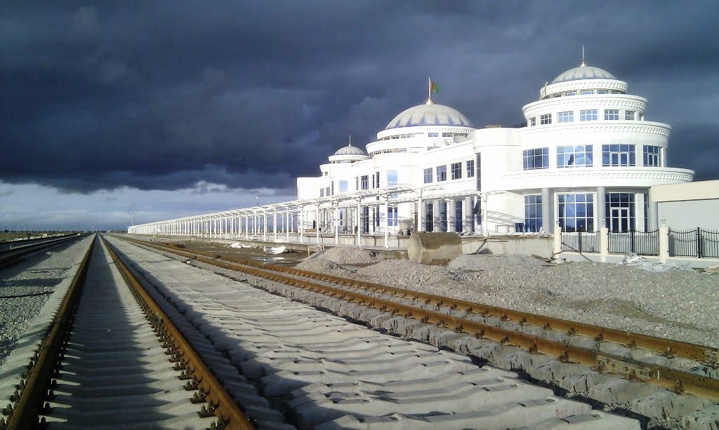

À propos de nos données
Les données de cette page sont estimées à l'aide de divers outils et ressources accessibles au public. Elles sont fournies sans garantie et peuvent contenir des inexactitudes. Utilisez-les à vos risques et périls.