Faits sur Dhangadha
| Région | 6.3 km² |
| Population | 12 270 |
| Population masculine | 5 967 (48.6%) |
| Population féminine | 6 303 (51.4%) |
| Variation de la population (1975 to 2020) | +1793.5% |
| Variation de la population (2000 to 2020) | +24.8% |
| Age moyen | 21.4 ans (Hommes : 20.7, Femmes : 22) |
| Heure locale | |
| Fuseau horaire | heure du Népal |
| Lat. et long. | 26.92002, 85.47549 |
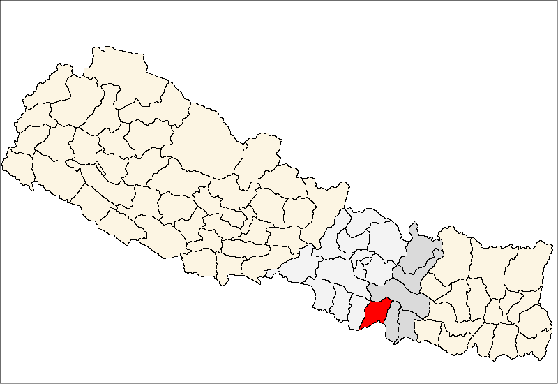
Carte de Dhangadha
Carte interactive
Population de Dhangadha
Années 1975 à 2030
| Data | 1975 | 1990 | 2000 | 2015 | 2020 | 2025* | 2030* |
|---|---|---|---|---|---|---|---|
| Population | 648 | 4 909 | 9 834 | 11 902 | 12 270 | 12 526 | 12 279 |
| Densité de population | 103,7 / km² | 785,4 / km² | 1 573,4 / km² | 1 904,3 / km² | 1 963,2 / km² | 2 004,2 / km² | 1 964,6 / km² |
* Projeté
Sources: JRC (European Commission's Joint Research Centre) travailler sur GHS built-up gridVariation de la population de Dhangadha de 2000 à 2020
Augmentation de 24.8% de l'année 2000 à 2020
| Lieu | Variation depuis 1975 | Variation depuis 1990 | Variation depuis 2000 |
|---|---|---|---|
| Dhangadha | +1793.5% | +149.9% | +24.8% |
| Népal | — | — | — |
Sources: JRC (European Commission's Joint Research Centre) travailler sur GHS built-up grid
Âge médian de Dhangadha
Âge médian : 21.4 ans
| Lieu | Age moyen | Âge médian (femme) | Âge médian (masculin) |
|---|---|---|---|
| Dhangadha | 21.4 yrs | 22 yrs | 20.7 yrs |
| Népal | 21.7 yrs | 22.6 yrs | 20.4 yrs |
Sources: CIESIN (Center for International Earth Science Information Network)
Densité de population de Dhangadha
Densité de population : 1 963 / km²
| Lieu | Population | Région | Densité |
|---|---|---|---|
| Dhangadha | 12 270 | 6,3 km² | 1 963 / km² |
| Népal | 28,7 million | 147 926,4 km² | 194 / km² |
Sources: JRC (European Commission's Joint Research Centre) travailler sur GHS built-up grid
Population historique et projetée de Dhangadha
Population estimée de 1910 à 2100
Sources:
- JRC (European Commission's Joint Research Centre) travailler sur GHS built-up grid
- CIESIN (Center for International Earth Science Information Network)
- [Lien] Klein Goldewijk, K., Beusen, A., Doelman, J., and Stehfest, E.: Anthropogenic land use estimates for the Holocene – HYDE 3.2, Earth Syst. Sci. Data, 9, 927–953, https://doi.org/10.5194/essd-9-927-2017, 2017.
Indice de développement humain (IDH)
Indice composite statistique de l'espérance de vie, de l'éducation et du revenu par habitant.
Source: [Lien] Kummu, M., Taka, M. &Guillaume, J. Ensembles de données mondiales en grille pour le Produit Intérieur Brut et l'Indice de Développement Humain sur 1990–2015. Sci Data 5, 180004 (2018) doi:10.1038/sdata.2018.4
Émissions de CO2 de Dhangadha
Émissions de dioxyde de carbone (CO2) par habitant en tonnes par an
| Lieu | Emissions de CO2 | Émissions de CO2 par habitant | Intensité des émissions de CO2 |
|---|---|---|---|
| Dhangadha | 4,413 tn | 0.36 tn | 706.1 tons/km² |
| Népal | 11,136,221 tn | 0.39 tn | 75.3 tons/km² |
Sources: [Lien] Moran, D., Kanemoto K; Jiborn, M., Wood, R., Többen, J., and Seto, K.C. (2018) Empreintes carbone de 13 000 villes. Environmental Research Letters DOI: 10.1088/1748-9326/aac72a
Émissions de CO2 de Dhangadha
| Émissions de CO2 en 2013 (tonnes/an) | 4,413 tn |
| Émissions de CO2 en 2013 (tonnes/an) par habitant | 0.36 tn |
| Intensité des émissions de CO2 en 2013 (tonnes/km²/an) | 706.1 tons/km² |
Risque de dangers naturels
Risque relatif sur 10
| Danger | Niveau de risque |
|---|---|
| Sécheresse | Moyen (5) |
| Inonder | Élevé (10) |
| Tremblement de terre | Élevé (8) |
* Les risques, en particulier concernant les inondations ou les glissements de terrain, peuvent ne pas concerner toute la zone.
Sources:
- Dilley, M., R.S. Chen, U. Deichmann, A.L. Lerner-Lam, M. Arnold, J. Agwe, P. Buys, O. Kjekstad, B. Lyon, and G. Yetman. 2005. Natural Disaster Hotspots: A Global Risk Analysis. Washington, D.C.: World Bank. https://doi.org/10.1596/0-8213-5930-4.
- Center for Hazards and Risk Research - CHRR - Columbia University, Center for International Earth Science Information Network - CIESIN - Columbia University, and International Research Institute for Climate and Society - IRI - Columbia University. 2005. Global Drought Hazard Frequency and Distribution. Palisades, NY: NASA Socioeconomic Data and Applications Center (SEDAC). https://doi.org/10.7927/H4VX0DFT.
- Center for Hazards and Risk Research - CHRR - Columbia University, Center for International Earth Science Information Network - CIESIN - Columbia University. 2005. Global Flood Hazard Frequency and Distribution. Palisades, NY: NASA Socioeconomic Data and Applications Center (SEDAC). https://doi.org/10.7927/H4668B3D.
- Center for Hazards and Risk Research - CHRR - Columbia University, Center for International Earth Science Information Network - CIESIN - Columbia University. 2005. Global Earthquake Hazard Distribution - Peak Ground Acceleration. Palisades, NY: NASA Socioeconomic Data and Applications Center (SEDAC). https://doi.org/10.7927/H4BZ63ZS.
Tremblements de terre récents à proximité
Magnitude 3.0 et plus
| Date▼ | Heure↕ | Magnitude↕ | Distance↕ | Profondeur↕ | Lieu↕ | Lien |
|---|---|---|---|---|---|---|
| 12/22/18 | 11:21 PM | 4.1 | 95.2 km | 10,000 m | 7km NNE of Nagarkot, Nepal | usgs.gov |
| 7/2/17 | 1:58 AM | 4.8 | 72.7 km | 10,000 m | 10km SSE of Ramechhap, Nepal | usgs.gov |
| 2/27/17 | 4:21 AM | 4.6 | 67.4 km | 20,280 m | 16km WNW of Ramechhap, Nepal | usgs.gov |
| 2/27/17 | 3:37 AM | 4.7 | 82 km | 11,230 m | 11km N of Ramechhap, Nepal | usgs.gov |
| 5/23/16 | 7:09 PM | 4.3 | 94.9 km | 10,000 m | 18km W of Kirtipur, Nepal | usgs.gov |
| 4/9/16 | 1:20 PM | 4.1 | 81.1 km | 10,220 m | 4km SSW of Patan, Nepal | usgs.gov |
| 4/4/16 | 4:31 AM | 4.2 | 77.3 km | 23,690 m | 32km E of Panaoti, Nepal | usgs.gov |
| 3/14/16 | 9:27 PM | 4.3 | 89.2 km | 27,090 m | 1km NE of Nagarkot, Nepal | usgs.gov |
| 2/10/16 | 4:27 PM | 4.1 | 89 km | 21,150 m | 10km E of Nagarkot, Nepal | usgs.gov |
| 9/22/15 | 6:32 AM | 4.4 | 94.7 km | 10,000 m | 20km W of Kirtipur, Nepal | usgs.gov |
Source: U.S. Geological Survey (USGS)

À propos de nos données
Les données de cette page sont estimées à l'aide de divers outils et ressources accessibles au public. Elles sont fournies sans garantie et peuvent contenir des inexactitudes. Utilisez-les à vos risques et périls.