Faits sur Moindou
| Région | 298.3 km² |
| Population | 1 250 |
| Population masculine | 653 (52.3%) |
| Population féminine | 597 (47.7%) |
| Variation de la population (1975 to 2020) | +711.7% |
| Variation de la population (2000 to 2020) | +92.0% |
| Age moyen | 33.1 ans (Hommes : 32.2, Femmes : 34) |
| Heure locale | |
| Fuseau horaire | heure normale de la Nouvelle-Calédonie |
| Lat. et long. | -21.70000, 165.68333 |
| Codes Postaux | 98819 |
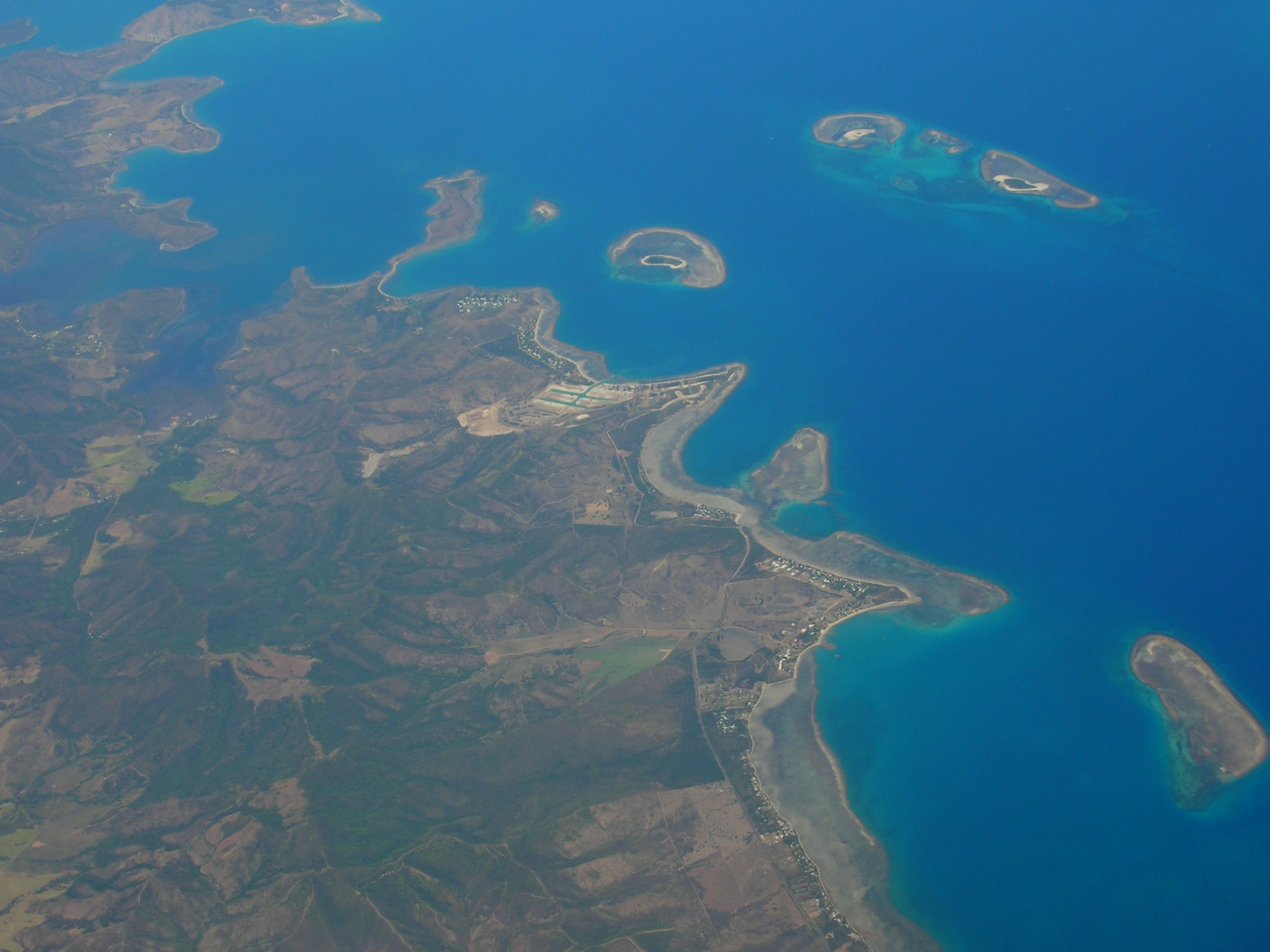
Carte de Moindou
Carte interactive
Population de Moindou
Années 1975 à 2020
| Data | 1975 | 1990 | 2000 | 2015 | 2020 |
|---|---|---|---|---|---|
| Population | 154 | 381 | 651 | 1 152 | 1 250 |
| Densité de population | 0,5 / km² | 1,3 / km² | 2,2 / km² | 3,9 / km² | 4,2 / km² |
Variation de la population de Moindou de 2000 à 2015
Augmentation de 77% de l'année 2000 à 2015
| Lieu | Variation depuis 1975 | Variation depuis 1990 | Variation depuis 2000 |
|---|---|---|---|
| Moindou | +648.1% | +202.4% | +77% |
| Province Sud (Nouvelle-Calédonie) | +297.4% | +109.9% | +44.8% |
Âge médian de Moindou
Âge médian : 33.1 ans
| Lieu | Age moyen | Âge médian (femme) | Âge médian (masculin) |
|---|---|---|---|
| Moindou | 33.1 yrs | 34 yrs | 32.2 yrs |
| Province Sud (Nouvelle-Calédonie) | 31.2 yrs | 31.6 yrs | 30.8 yrs |
Densité de population de Moindou
Densité de population : 4,2 / km²
| Lieu | Population | Région | Densité |
|---|---|---|---|
| Moindou | 1 250 | 298,3 km² | 4,2 / km² |
| Province Sud (Nouvelle-Calédonie) | 191 185 | 7 313 km² | 26,1 / km² |
Population historique et projetée de Moindou
Population estimée de 1200 à 2100
- JRC (European Commission's Joint Research Centre) travailler sur GHS built-up grid
- CIESIN (Center for International Earth Science Information Network)
- [Lien] Klein Goldewijk, K., Beusen, A., Doelman, J., and Stehfest, E.: Anthropogenic land use estimates for the Holocene – HYDE 3.2, Earth Syst. Sci. Data, 9, 927–953, https://doi.org/10.5194/essd-9-927-2017, 2017.
Émissions de CO2 de Moindou
Émissions de dioxyde de carbone (CO2) par habitant en tonnes par an
| Lieu | Emissions de CO2 | Émissions de CO2 par habitant | Intensité des émissions de CO2 |
|---|---|---|---|
| Moindou | 24,443 tn | 19.55 tn | 82 tons/km² |
| Province Sud (Nouvelle-Calédonie) | 3,829,153 tn | 20.03 tn | 523.6 tons/km² |
| Émissions de CO2 en 2013 (tonnes/an) | 24,443 tn |
| Émissions de CO2 en 2013 (tonnes/an) par habitant | 19.55 tn |
| Intensité des émissions de CO2 en 2013 (tonnes/km²/an) | 82 tons/km² |
Risque de dangers naturels
Relative risk out of 10
| Danger | Risk Level |
|---|---|
| Drought | Medium (4) |
| Earthquake | Medium (4) |
| Cyclone | High (10) |
* Risk, particularly concerning flood or landslide, may not be for the entire area.
- Dilley, M., R.S. Chen, U. Deichmann, A.L. Lerner-Lam, M. Arnold, J. Agwe, P. Buys, O. Kjekstad, B. Lyon, and G. Yetman. 2005. Natural Disaster Hotspots: A Global Risk Analysis. Washington, D.C.: World Bank. https://doi.org/10.1596/0-8213-5930-4.
- Center for Hazards and Risk Research - CHRR - Columbia University, Center for International Earth Science Information Network - CIESIN - Columbia University, International Bank for Reconstruction and Development - The World Bank, and United Nations Environment Programme Global Resource Information Database Geneva - UNEP/GRID-Geneva. 2005. Global Cyclone Hazard Frequency and Distribution. Palisades, NY: NASA Socioeconomic Data and Applications Center (SEDAC). https://doi.org/10.7927/H4CZ353K.
- Center for Hazards and Risk Research - CHRR - Columbia University, Center for International Earth Science Information Network - CIESIN - Columbia University, and International Research Institute for Climate and Society - IRI - Columbia University. 2005. Global Drought Hazard Frequency and Distribution. Palisades, NY: NASA Socioeconomic Data and Applications Center (SEDAC). https://doi.org/10.7927/H4VX0DFT.
- Center for Hazards and Risk Research - CHRR - Columbia University, Center for International Earth Science Information Network - CIESIN - Columbia University. 2005. Global Earthquake Hazard Distribution - Peak Ground Acceleration. Palisades, NY: NASA Socioeconomic Data and Applications Center (SEDAC). https://doi.org/10.7927/H4BZ63ZS.
Tremblements de terre récents à proximité
Magnitude 3.0 et plus
| Date▼ | Heure↕ | Magnitude↕ | Distance↕ | Profondeur↕ | Lieu↕ | Lien |
|---|---|---|---|---|---|---|
| 11/8/84 | 6:14 AM | 4.1 | 77.4 km | 33,000 m | New Caledonia | usgs.gov |
| 4/12/84 | 2:49 PM | 4.9 | 89.8 km | 33,000 m | New Caledonia | usgs.gov |
Moindou
Moindou (également Mouidou en langue kanak) est une commune française de Nouvelle-Calédonie, située sur la côte Ouest de la Grande Terre en Province Sud, côté ouest, à proximité de La Foa, Farino et Sarraméa, au sud de Bourail, sur la RT1, à 128 km de Nouméa. ..
Page Wikipédia de Moindou

À propos de nos données
Les données de cette page sont estimées à l'aide de divers outils et ressources accessibles au public. Elles sont fournies sans garantie et peuvent contenir des inexactitudes. Utilisez-les à vos risques et périls.