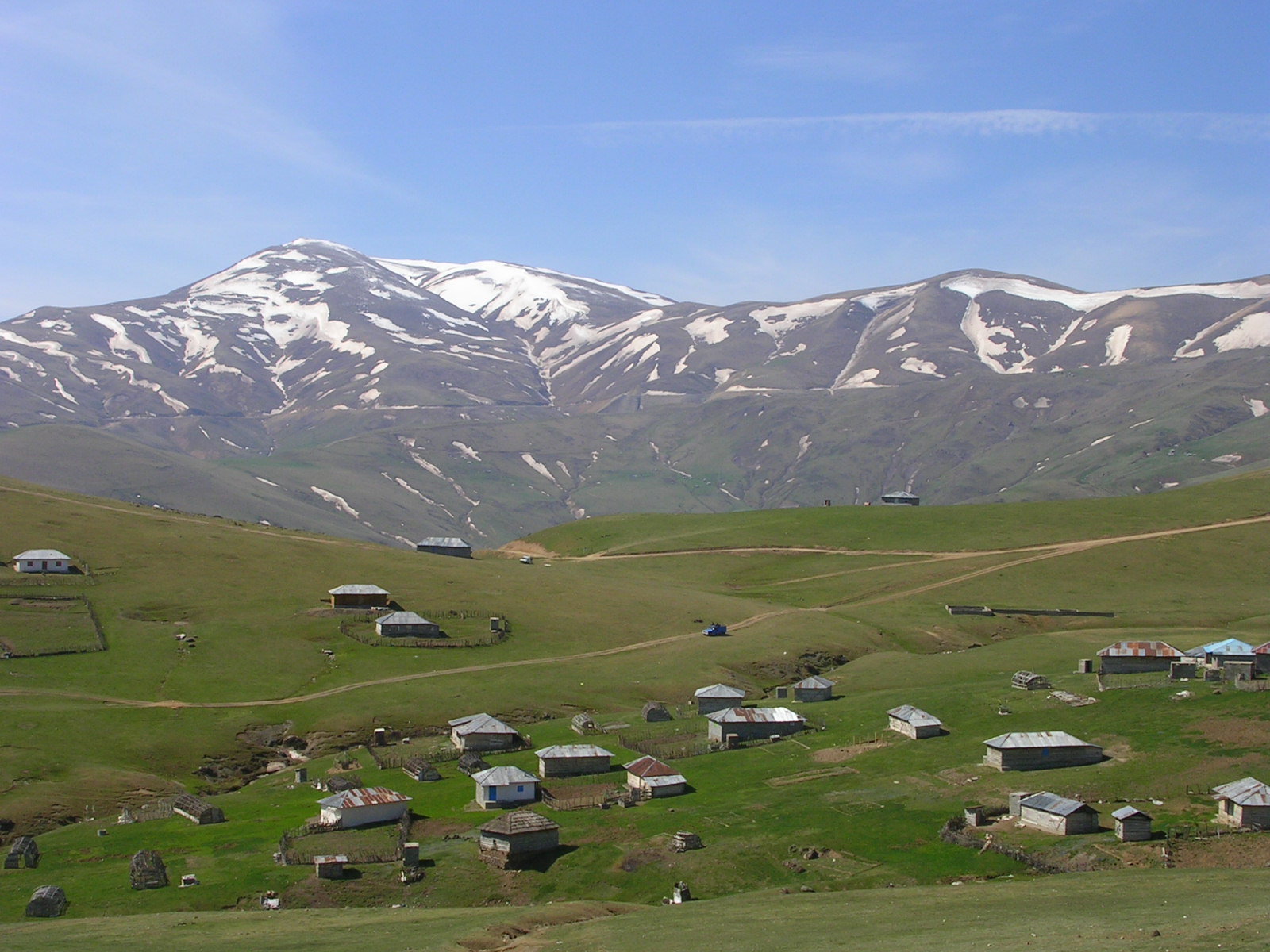
Faits sur Gotag Sar
| Heure locale | |
| Fuseau horaire | heure normale d’Iran |
| Lat. et long. | 37.68620, 49.03200 |
Carte de Gotag Sar
Carte interactive
Tremblements de terre récents à proximité
Magnitude 3.0 et plus
| Date▼ | Heure↕ | Magnitude↕ | Distance↕ | Profondeur↕ | Lieu↕ | Lien |
|---|---|---|---|---|---|---|
| 1/31/19 | 9:31 AM | 4.7 | 22.6 km | 10,000 m | 28km S of Hashtpar, Iran | usgs.gov |
| 1/25/19 | 1:47 PM | 4.2 | 8.5 km | 10,000 m | 20km ESE of Hashtpar, Iran | usgs.gov |
| 6/26/17 | 11:59 PM | 4.1 | 31.7 km | 10,000 m | 23km ESE of Herowabad, Iran | usgs.gov |
| 3/12/15 | 12:42 AM | 4.5 | 78.2 km | 26,910 m | 22km ESE of Astara, Iran | usgs.gov |
| 10/13/13 | 10:21 PM | 4.2 | 57.9 km | 7,400 m | 14km WNW of Herowabad, Iran | usgs.gov |
| 7/6/13 | 5:07 PM | 4.1 | 8.5 km | 10,700 m | northwestern Iran | usgs.gov |
| 3/18/12 | 2:38 AM | 4.4 | 97.3 km | 14,000 m | northern Iran | usgs.gov |
| 2/4/12 | 8:04 PM | 4.8 | 60.3 km | 45,000 m | near the coast of northern Iran | usgs.gov |
| 3/4/11 | 9:46 AM | 4.6 | 37.9 km | 14,100 m | northwestern Iran | usgs.gov |
| 10/23/10 | 5:19 PM | 4 | 50.2 km | 7,700 m | Caspian Sea | usgs.gov |
Source: U.S. Geological Survey (USGS)
À propos de nos données
Les données de cette page sont estimées à l'aide de divers outils et ressources accessibles au public. Elles sont fournies sans garantie et peuvent contenir des inexactitudes. Utilisez-les à vos risques et périls.