Catégories à Bangaon
les industries
Répartition des entreprises par secteur à Bangaon
| Description de l'industrie | Nombre d'établissements |
|---|---|
| Shopping | 320 |
| Shopping Autres | 203 |
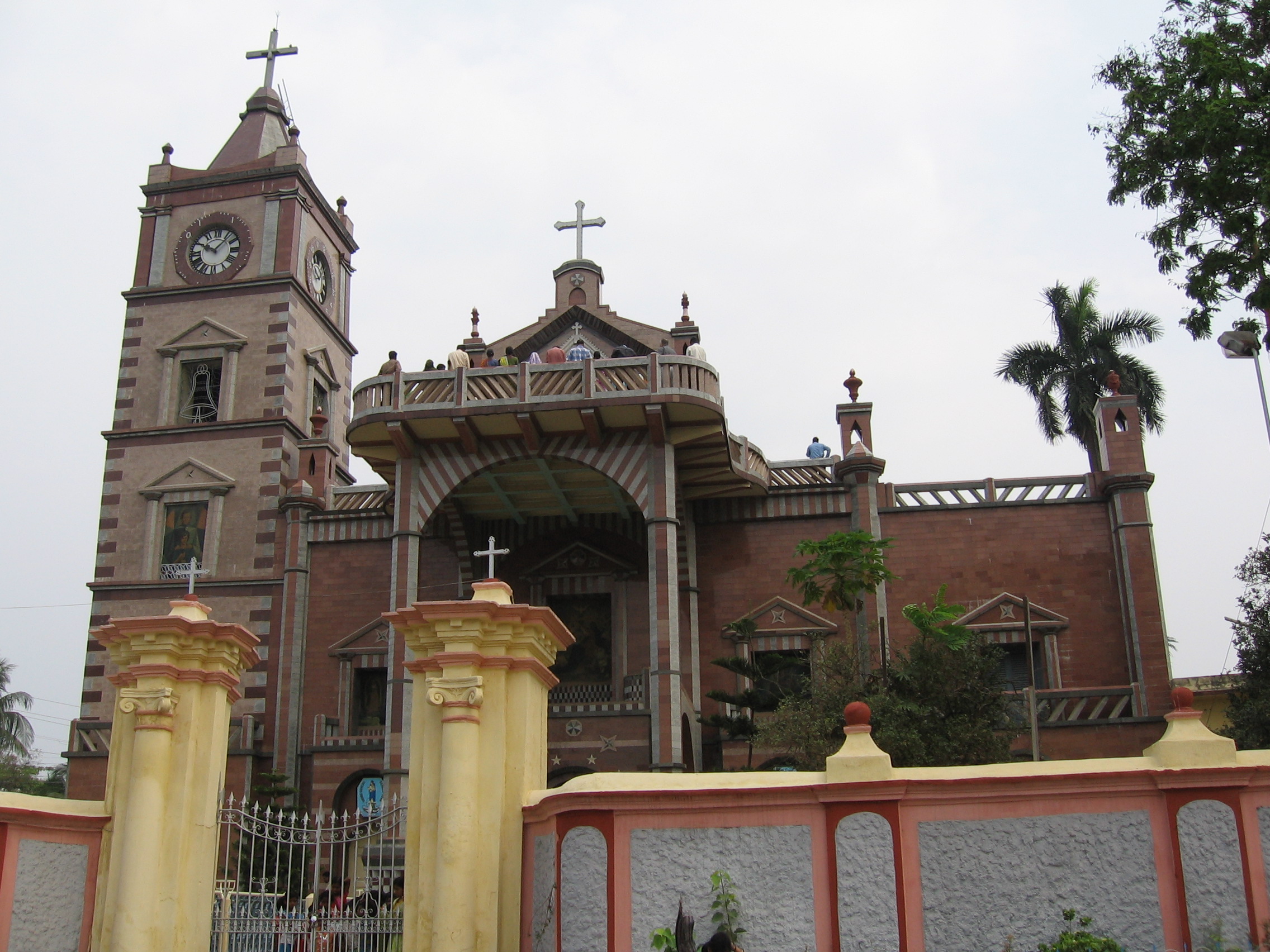
| Temple hindou | 163 |
| Boutiques d'appareils électroniques | 154 |
| Boutiques de vêtements | 119 |
| Pharmacies | 115 |
| Magasin de bricolage | 105 |
| Éducation | 104 |
| Épiceries et supermarchés | 102 |
| Restaurants | 89 |
Faits sur Bangaon
| Région | 311.4 km² |
| Population | 453 592 |
| Population masculine | 233 931 (51.6%) |
| Population féminine | 219 661 (48.4%) |
| Variation de la population (1975 to 2020) | +86.6% |
| Variation de la population (2000 to 2020) | +23.2% |
| Age moyen | 29.3 ans (Hommes : 29.6, Femmes : 29.1) |
| Voisinages | Bajparti |
| Heure locale | |
| Fuseau horaire | heure de l’Inde |
| Lat. et long. | 23.04553, 88.83084 |
Carte de Bangaon
Carte interactive
Population de Bangaon
Années 1975 à 2020
| Data | 1975 | 1990 | 2000 | 2015 | 2020 |
|---|---|---|---|---|---|
| Population | 243 030 | 317 370 | 368 056 | 426 291 | 453 592 |
| Densité de population | 780,3 / km² | 1 019 / km² | 1 181,8 / km² | 1 368,8 / km² | 1 456,4 / km² |
Variation de la population de Bangaon de 2000 à 2015
Augmentation de 15.8% de l'année 2000 à 2015
| Lieu | Variation depuis 1975 | Variation depuis 1990 | Variation depuis 2000 |
|---|---|---|---|
| Bangaon | +75.4% | +34.3% | +15.8% |
| Bengale-Occidental | +87.1% | +38.9% | +18.2% |
| Inde | +111.1% | +50.6% | +24.5% |
Âge médian de Bangaon
Âge médian : 29.3 ans
| Lieu | Age moyen | Âge médian (femme) | Âge médian (masculin) |
|---|---|---|---|
| Bangaon | 29.3 yrs | 29.1 yrs | 29.6 yrs |
| Bengale-Occidental | 26.9 yrs | 26.8 yrs | 27 yrs |
| Inde | 24.9 yrs | 25.4 yrs | 24.5 yrs |
Densité de population de Bangaon
Densité de population : 1 456 / km²
| Lieu | Population | Région | Densité |
|---|---|---|---|
| Bangaon | 453 592 | 311,4 km² | 1 456 / km² |
| Bengale-Occidental | 97 million | 85 313,5 km² | 1 137 / km² |
| Inde | 1 307 million | 3 083 563,4 km² | 424 / km² |
Population historique et projetée de Bangaon
Population estimée de 0 à 2100
- JRC (European Commission's Joint Research Centre) travailler sur GHS built-up grid
- CIESIN (Center for International Earth Science Information Network)
- [Lien] Klein Goldewijk, K., Beusen, A., Doelman, J., and Stehfest, E.: Anthropogenic land use estimates for the Holocene – HYDE 3.2, Earth Syst. Sci. Data, 9, 927–953, https://doi.org/10.5194/essd-9-927-2017, 2017.
Codes Postaux
Pourcentage d'entreprises par code postal à Bangaon
Indice de développement humain (IDH)
Indice composite statistique de l'espérance de vie, de l'éducation et du revenu par habitant.
Émissions de CO2 de Bangaon
Émissions de dioxyde de carbone (CO2) par habitant en tonnes par an
| Lieu | Emissions de CO2 | Émissions de CO2 par habitant | Intensité des émissions de CO2 |
|---|---|---|---|
| Bangaon | 766,282 tn | 1.69 tn | 2,460.5 tons/km² |
| Bengale-Occidental | 140,075,161 tn | 1.44 tn | 1,641.9 tons/km² |
| Inde | 1,928,568,344 tn | 1.48 tn | 625.4 tons/km² |
| Émissions de CO2 en 2013 (tonnes/an) | 766,282 tn |
| Émissions de CO2 en 2013 (tonnes/an) par habitant | 1.69 tn |
| Intensité des émissions de CO2 en 2013 (tonnes/km²/an) | 2,460.5 tons/km² |
Risque de dangers naturels
Relative risk out of 10
| Danger | Risk Level |
|---|---|
| Drought | High (10) |
| Flood | High (10) |
| Earthquake | Low (2.9) |
| Cyclone | Medium (5) |
* Risk, particularly concerning flood or landslide, may not be for the entire area.
- Dilley, M., R.S. Chen, U. Deichmann, A.L. Lerner-Lam, M. Arnold, J. Agwe, P. Buys, O. Kjekstad, B. Lyon, and G. Yetman. 2005. Natural Disaster Hotspots: A Global Risk Analysis. Washington, D.C.: World Bank. https://doi.org/10.1596/0-8213-5930-4.
- Center for Hazards and Risk Research - CHRR - Columbia University, Center for International Earth Science Information Network - CIESIN - Columbia University, International Bank for Reconstruction and Development - The World Bank, and United Nations Environment Programme Global Resource Information Database Geneva - UNEP/GRID-Geneva. 2005. Global Cyclone Hazard Frequency and Distribution. Palisades, NY: NASA Socioeconomic Data and Applications Center (SEDAC). https://doi.org/10.7927/H4CZ353K.
- Center for Hazards and Risk Research - CHRR - Columbia University, Center for International Earth Science Information Network - CIESIN - Columbia University, and International Research Institute for Climate and Society - IRI - Columbia University. 2005. Global Drought Hazard Frequency and Distribution. Palisades, NY: NASA Socioeconomic Data and Applications Center (SEDAC). https://doi.org/10.7927/H4VX0DFT.
- Center for Hazards and Risk Research - CHRR - Columbia University, Center for International Earth Science Information Network - CIESIN - Columbia University. 2005. Global Flood Hazard Frequency and Distribution. Palisades, NY: NASA Socioeconomic Data and Applications Center (SEDAC). https://doi.org/10.7927/H4668B3D.
- Center for Hazards and Risk Research - CHRR - Columbia University, Center for International Earth Science Information Network - CIESIN - Columbia University. 2005. Global Earthquake Hazard Distribution - Peak Ground Acceleration. Palisades, NY: NASA Socioeconomic Data and Applications Center (SEDAC). https://doi.org/10.7927/H4BZ63ZS.
Tremblements de terre récents à proximité
Magnitude 3.0 et plus
| Date▼ | Heure↕ | Magnitude↕ | Distance↕ | Profondeur↕ | Lieu↕ | Lien |
|---|---|---|---|---|---|---|
| 8/6/13 | 6:36 PM | 4.5 | 45.6 km | 35,880 m | 7km NNE of Shantipur, India | usgs.gov |
| 1/5/09 | 7:04 AM | 4.2 | 13.4 km | 35,000 m | India-Bangladesh border region | usgs.gov |
| 4/16/01 | 12:31 AM | 4.3 | 61.2 km | 10,000 m | Bangladesh | usgs.gov |
| 9/24/96 | 3:28 AM | 4.6 | 41.3 km | 36,400 m | India-Bangladesh border region | usgs.gov |
| 9/28/94 | 4:46 PM | 4.6 | 43.4 km | 33,000 m | India-Bangladesh border region | usgs.gov |


À propos de nos données
Les données de cette page sont estimées à l'aide de divers outils et ressources accessibles au public. Elles sont fournies sans garantie et peuvent contenir des inexactitudes. Utilisez-les à vos risques et périls.