Faits sur Kābūl
| Région | 2.4 km² |
| Population | 10 036 |
| Population masculine | 5 093 (50.7%) |
| Population féminine | 4 943 (49.3%) |
| Variation de la population (1975 to 2020) | +139.0% |
| Variation de la population (2000 to 2020) | +49.5% |
| Age moyen | 22.3 ans (Hommes : 22, Femmes : 22.6) |
| Codes Téléphone | 4 |
| Voisinages | Gar'in ha-Kfar Jededa |
| Heure locale | |
| Fuseau horaire | heure d’été d’Israël |
| Lat. et long. | 32.86856, 35.21171 |
| Codes Postaux | 24963 |
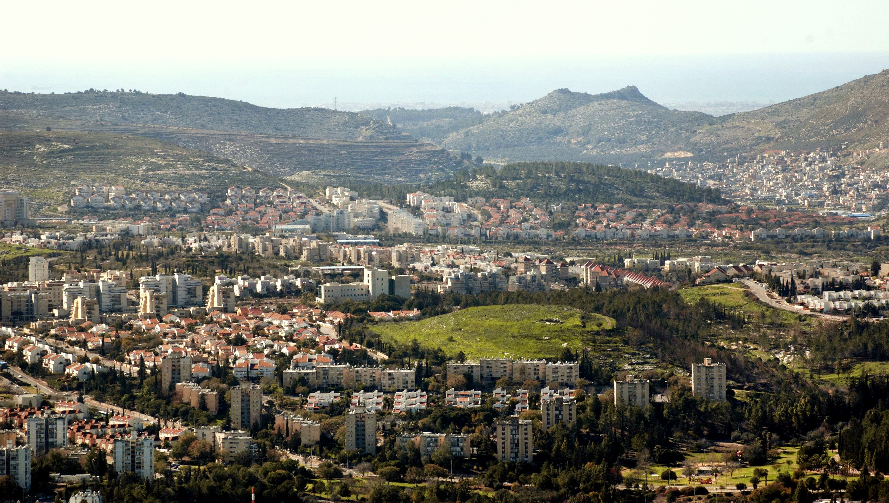
Carte de Kābūl
Carte interactive
Population de Kābūl
Années 1975 à 2020
| Data | 1975 | 1990 | 2000 | 2015 | 2020 |
|---|---|---|---|---|---|
| Population | 4 200 | 5 262 | 6 712 | 9 064 | 10 036 |
| Densité de population | 1 723,1 / km² | 2 158,8 / km² | 2 753,6 / km² | 3 718,6 / km² | 4 117,3 / km² |
Sources: JRC (European Commission's Joint Research Centre) travailler sur GHS built-up grid
Variation de la population de Kābūl de 2000 à 2015
Augmentation de 35% de l'année 2000 à 2015
| Lieu | Variation depuis 1975 | Variation depuis 1990 | Variation depuis 2000 |
|---|---|---|---|
| Kābūl | +115.8% | +72.3% | +35% |
| District nord (Israël) | +142.6% | +78.8% | +33.6% |
| Israël | +141.5% | +78.8% | +33.8% |
Sources: JRC (European Commission's Joint Research Centre) travailler sur GHS built-up grid
Âge médian de Kābūl
Âge médian : 22.3 ans
| Lieu | Age moyen | Âge médian (femme) | Âge médian (masculin) |
|---|---|---|---|
| Kābūl | 22.3 yrs | 22.6 yrs | 22 yrs |
| District nord (Israël) | 26.9 yrs | 27.7 yrs | 26.2 yrs |
| Israël | 29.5 yrs | 30.6 yrs | 28.5 yrs |
Sources: CIESIN (Center for International Earth Science Information Network)
Densité de population de Kābūl
Densité de population : 4 117 / km²
| Lieu | Population | Région | Densité |
|---|---|---|---|
| Kābūl | 10 036 | 2,438 km² | 4 117 / km² |
| District nord (Israël) | 1,4 million | 4 641,2 km² | 304 / km² |
| Israël | 8,3 million | 22 078 km² | 374 / km² |
Sources: JRC (European Commission's Joint Research Centre) travailler sur GHS built-up grid
Population historique et projetée de Kābūl
Population estimée de 0 à 2100
Sources:
- JRC (European Commission's Joint Research Centre) travailler sur GHS built-up grid
- CIESIN (Center for International Earth Science Information Network)
- [Lien] Klein Goldewijk, K., Beusen, A., Doelman, J., and Stehfest, E.: Anthropogenic land use estimates for the Holocene – HYDE 3.2, Earth Syst. Sci. Data, 9, 927–953, https://doi.org/10.5194/essd-9-927-2017, 2017.
Codes Téléphone
Pourcentage des indicatifs régionaux utilisés par les entreprises de Kābūl
Indice de développement humain (IDH)
Indice composite statistique de l'espérance de vie, de l'éducation et du revenu par habitant.
Source: [Lien] Kummu, M., Taka, M. &Guillaume, J. Ensembles de données mondiales en grille pour le Produit Intérieur Brut et l'Indice de Développement Humain sur 1990–2015. Sci Data 5, 180004 (2018) doi:10.1038/sdata.2018.4
Émissions de CO2 de Kābūl
Émissions de dioxyde de carbone (CO2) par habitant en tonnes par an
| Lieu | Emissions de CO2 | Émissions de CO2 par habitant | Intensité des émissions de CO2 |
|---|---|---|---|
| Kābūl | 100,251 tn | 9.99 tn | 41,128.6 tons/km² |
| District nord (Israël) | 11,734,870 tn | 8.32 tn | 2,528.4 tons/km² |
| Israël | 81,985,471 tn | 9.92 tn | 3,713.4 tons/km² |
Sources: [Lien] Moran, D., Kanemoto K; Jiborn, M., Wood, R., Többen, J., and Seto, K.C. (2018) Empreintes carbone de 13 000 villes. Environmental Research Letters DOI: 10.1088/1748-9326/aac72a
Émissions de CO2 de Kābūl
| Émissions de CO2 en 2013 (tonnes/an) | 100,251 tn |
| Émissions de CO2 en 2013 (tonnes/an) par habitant | 9.99 tn |
| Intensité des émissions de CO2 en 2013 (tonnes/km²/an) | 41,128.6 tons/km² |
Risque de dangers naturels
Relative risk out of 10
| Danger | Risk Level |
|---|---|
| Drought | High (9) |
| Flood | Medium (7) |
| Earthquake | Medium (7) |
* Risk, particularly concerning flood or landslide, may not be for the entire area.
Sources:
- Dilley, M., R.S. Chen, U. Deichmann, A.L. Lerner-Lam, M. Arnold, J. Agwe, P. Buys, O. Kjekstad, B. Lyon, and G. Yetman. 2005. Natural Disaster Hotspots: A Global Risk Analysis. Washington, D.C.: World Bank. https://doi.org/10.1596/0-8213-5930-4.
- Center for Hazards and Risk Research - CHRR - Columbia University, Center for International Earth Science Information Network - CIESIN - Columbia University, and International Research Institute for Climate and Society - IRI - Columbia University. 2005. Global Drought Hazard Frequency and Distribution. Palisades, NY: NASA Socioeconomic Data and Applications Center (SEDAC). https://doi.org/10.7927/H4VX0DFT.
- Center for Hazards and Risk Research - CHRR - Columbia University, Center for International Earth Science Information Network - CIESIN - Columbia University. 2005. Global Flood Hazard Frequency and Distribution. Palisades, NY: NASA Socioeconomic Data and Applications Center (SEDAC). https://doi.org/10.7927/H4668B3D.
- Center for Hazards and Risk Research - CHRR - Columbia University, Center for International Earth Science Information Network - CIESIN - Columbia University. 2005. Global Earthquake Hazard Distribution - Peak Ground Acceleration. Palisades, NY: NASA Socioeconomic Data and Applications Center (SEDAC). https://doi.org/10.7927/H4BZ63ZS.
Tremblements de terre récents à proximité
Magnitude 3.0 et plus
| Date▼ | Heure↕ | Magnitude↕ | Distance↕ | Profondeur↕ | Lieu↕ | Lien |
|---|---|---|---|---|---|---|
| 11/3/18 | 5:42 PM | 3.8 | 93.7 km | 32,140 m | 44km WNW of Sidon, Lebanon | usgs.gov |
| 7/4/18 | 7:45 PM | 4.7 | 23.1 km | 10,000 m | 5km SE of 'Eilabun, Israel | usgs.gov |
| 7/4/18 | 1:50 AM | 4 | 22.9 km | 10,000 m | 6km SSE of 'Eilabun, Israel | usgs.gov |
| 7/5/14 | 9:41 PM | 4 | 81.5 km | 12,700 m | 3km NE of Sidon, Lebanon | usgs.gov |
| 10/20/13 | 12:54 PM | 3.5 | 33.7 km | 5,000 m | 8km NNE of Tiberias, Israel | usgs.gov |
| 8/7/11 | 8:52 AM | 4.1 | 77.2 km | 31,000 m | Dead Sea region | usgs.gov |
| 7/10/09 | 6:19 PM | 4 | 50 km | 10,000 m | Lebanon - Syria region | usgs.gov |
| 8/13/08 | 6:05 AM | 3.2 | 65.1 km | 10,000 m | eastern Mediterranean Sea | usgs.gov |
| 7/2/08 | 9:29 AM | 3.1 | 69.7 km | 20,100 m | Lebanon - Syria region | usgs.gov |
| 6/23/08 | 3:45 PM | 3 | 51 km | 1,000 m | Lebanon - Syria region | usgs.gov |
Source: U.S. Geological Survey (USGS)


À propos de nos données
Les données de cette page sont estimées à l'aide de divers outils et ressources accessibles au public. Elles sont fournies sans garantie et peuvent contenir des inexactitudes. Utilisez-les à vos risques et périls.