Catégories à Grand-Bourg
les industries
Répartition des entreprises par secteur à Grand-Bourg
| Description de l'industrie | Nombre d'établissements |
|---|---|
| Magasins de proximité | 5 |
Faits sur Grand-Bourg
| Région | 47.1 km² |
| Population | 5 022 |
| Population masculine | 2 278 (45.4%) |
| Population féminine | 2 744 (54.6%) |
| Variation de la population (1975 to 2020) | -7.3% |
| Variation de la population (2000 to 2020) | -12.4% |
| Age moyen | 44.1 ans (Hommes : 42.9, Femmes : 44.9) |
| Heure locale | |
| Fuseau horaire | heure normale de l’Atlantique |
| Lat. et long. | 15.88346, -61.31484 |
| Codes Postaux | 97112 |
Carte de Grand-Bourg
Carte interactive
Population de Grand-Bourg
Années 1975 à 2020
| Data | 1975 | 1990 | 2000 | 2015 | 2020 |
|---|---|---|---|---|---|
| Population | 5 416 | 5 689 | 5 734 | 5 228 | 5 022 |
| Densité de population | 115,1 / km² | 120,9 / km² | 121,8 / km² | 111,1 / km² | 106,7 / km² |
Variation de la population de Grand-Bourg de 2000 à 2015
Diminution de 8.8% de l'année 2000 à 2015
| Lieu | Variation depuis 1975 | Variation depuis 1990 | Variation depuis 2000 |
|---|---|---|---|
| Grand-Bourg | -3.5% | -8.1% | -8.8% |
| Guadeloupe | +42.5% | +19.5% | +8% |
Âge médian de Grand-Bourg
Âge médian : 44.1 ans
| Lieu | Age moyen | Âge médian (femme) | Âge médian (masculin) |
|---|---|---|---|
| Grand-Bourg | 44.1 yrs | 44.9 yrs | 42.9 yrs |
| Guadeloupe | 37.8 yrs | 38.9 yrs | 36.3 yrs |
Densité de population de Grand-Bourg
Densité de population : 107 / km²
| Lieu | Population | Région | Densité |
|---|---|---|---|
| Grand-Bourg | 5 022 | 47,1 km² | 107 / km² |
| Guadeloupe | 361 115 | 1 668,9 km² | 216 / km² |
Population historique et projetée de Grand-Bourg
Population estimée de 1975 à 2100
- JRC (European Commission's Joint Research Centre) travailler sur GHS built-up grid
- CIESIN (Center for International Earth Science Information Network)
- [Lien] Klein Goldewijk, K., Beusen, A., Doelman, J., and Stehfest, E.: Anthropogenic land use estimates for the Holocene – HYDE 3.2, Earth Syst. Sci. Data, 9, 927–953, https://doi.org/10.5194/essd-9-927-2017, 2017.
Distribution des prix
Répartition des activités par prix pour Grand-Bourg
Indice de développement humain (IDH)
Indice composite statistique de l'espérance de vie, de l'éducation et du revenu par habitant.
Émissions de CO2 de Grand-Bourg
Émissions de dioxyde de carbone (CO2) par habitant en tonnes par an
| Lieu | Emissions de CO2 | Émissions de CO2 par habitant | Intensité des émissions de CO2 |
|---|---|---|---|
| Grand-Bourg | 25,710 tn | 5.12 tn | 546.3 tons/km² |
| Guadeloupe | 1,866,743 tn | 5.17 tn | 1,118.5 tons/km² |
| Émissions de CO2 en 2013 (tonnes/an) | 25,710 tn |
| Émissions de CO2 en 2013 (tonnes/an) par habitant | 5.12 tn |
| Intensité des émissions de CO2 en 2013 (tonnes/km²/an) | 546.3 tons/km² |
Risque de dangers naturels
Relative risk out of 10
| Danger | Risk Level |
|---|---|
| Drought | Medium (4) |
| Earthquake | Medium (5.3) |
| Cyclone | High (9) |
| Landslide | Medium (7) |
* Risk, particularly concerning flood or landslide, may not be for the entire area.
- Dilley, M., R.S. Chen, U. Deichmann, A.L. Lerner-Lam, M. Arnold, J. Agwe, P. Buys, O. Kjekstad, B. Lyon, and G. Yetman. 2005. Natural Disaster Hotspots: A Global Risk Analysis. Washington, D.C.: World Bank. https://doi.org/10.1596/0-8213-5930-4.
- Center for Hazards and Risk Research - CHRR - Columbia University, Center for International Earth Science Information Network - CIESIN - Columbia University, and Norwegian Geotechnical Institute - NGI. 2005. Global Landslide Hazard Distribution. Palisades, NY: NASA Socioeconomic Data and Applications Center (SEDAC). https://doi.org/10.7927/H4P848VZ.
- Center for Hazards and Risk Research - CHRR - Columbia University, Center for International Earth Science Information Network - CIESIN - Columbia University, International Bank for Reconstruction and Development - The World Bank, and United Nations Environment Programme Global Resource Information Database Geneva - UNEP/GRID-Geneva. 2005. Global Cyclone Hazard Frequency and Distribution. Palisades, NY: NASA Socioeconomic Data and Applications Center (SEDAC). https://doi.org/10.7927/H4CZ353K.
- Center for Hazards and Risk Research - CHRR - Columbia University, Center for International Earth Science Information Network - CIESIN - Columbia University, and International Research Institute for Climate and Society - IRI - Columbia University. 2005. Global Drought Hazard Frequency and Distribution. Palisades, NY: NASA Socioeconomic Data and Applications Center (SEDAC). https://doi.org/10.7927/H4VX0DFT.
- Center for Hazards and Risk Research - CHRR - Columbia University, Center for International Earth Science Information Network - CIESIN - Columbia University. 2005. Global Earthquake Hazard Distribution - Peak Ground Acceleration. Palisades, NY: NASA Socioeconomic Data and Applications Center (SEDAC). https://doi.org/10.7927/H4BZ63ZS.
Tremblements de terre récents à proximité
Magnitude 3.0 et plus
| Date▼ | Heure↕ | Magnitude↕ | Distance↕ | Profondeur↕ | Lieu↕ | Lien |
|---|---|---|---|---|---|---|
| 1/9/18 | 9:50 PM | 4.1 | 17.8 km | 123,740 m | 14km SE of Capesterre-Belle-Eau, Guadeloupe | usgs.gov |
| 11/25/13 | 8:22 PM | 4.6 | 20.8 km | 127,000 m | 12km N of Calibishie, Dominica | usgs.gov |
| 7/9/10 | 7:44 AM | 3.6 | 20.5 km | 35,000 m | Guadeloupe region, Leeward Islands | usgs.gov |
| 4/13/09 | 6:02 PM | 3.7 | 19.8 km | 20,000 m | Dominica region, Leeward Islands | usgs.gov |
| 6/3/08 | 5:32 AM | 3.2 | 18.1 km | 36,100 m | Guadeloupe region, Leeward Islands | usgs.gov |
| 4/26/08 | 3:10 PM | 3.2 | 25.2 km | 29,000 m | Dominica region, Leeward Islands | usgs.gov |
| 4/23/08 | 9:14 AM | 3.1 | 22.3 km | 35,000 m | Dominica region, Leeward Islands | usgs.gov |
| 4/17/08 | 9:26 PM | 3.8 | 13.1 km | 18,000 m | Guadeloupe region, Leeward Islands | usgs.gov |
| 4/17/08 | 5:46 AM | 3.7 | 20.9 km | 19,000 m | Guadeloupe region, Leeward Islands | usgs.gov |
| 4/17/08 | 5:15 AM | 3.5 | 18.5 km | 20,000 m | Guadeloupe region, Leeward Islands | usgs.gov |
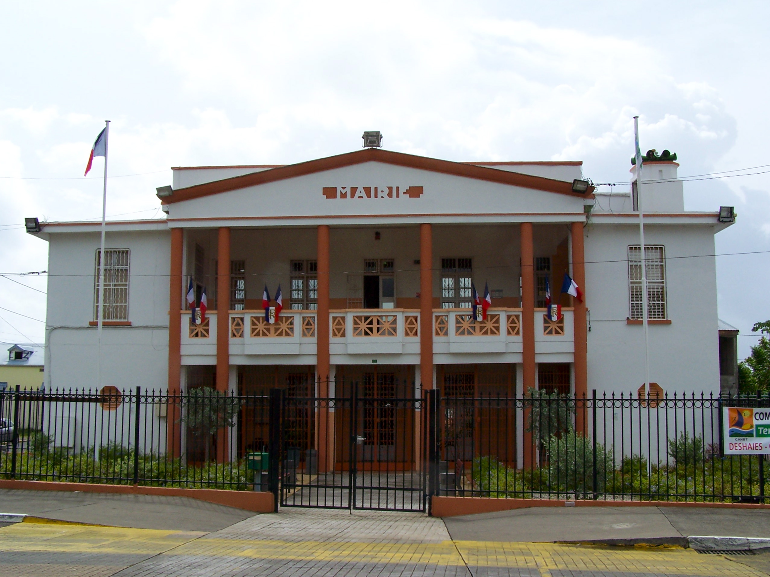
Grand-Bourg
Grand-Bourg, parfois appelée Grand-Bourg de Marie-Galante (en créole Gwanbou ou Gwanbou Marigalant' ) est une commune française située sur l’île de Marie-Galante dans le département de la Guadeloupe.
Page Wikipédia de Grand-Bourg


À propos de nos données
Les données de cette page sont estimées à l'aide de divers outils et ressources accessibles au public. Elles sont fournies sans garantie et peuvent contenir des inexactitudes. Utilisez-les à vos risques et périls.