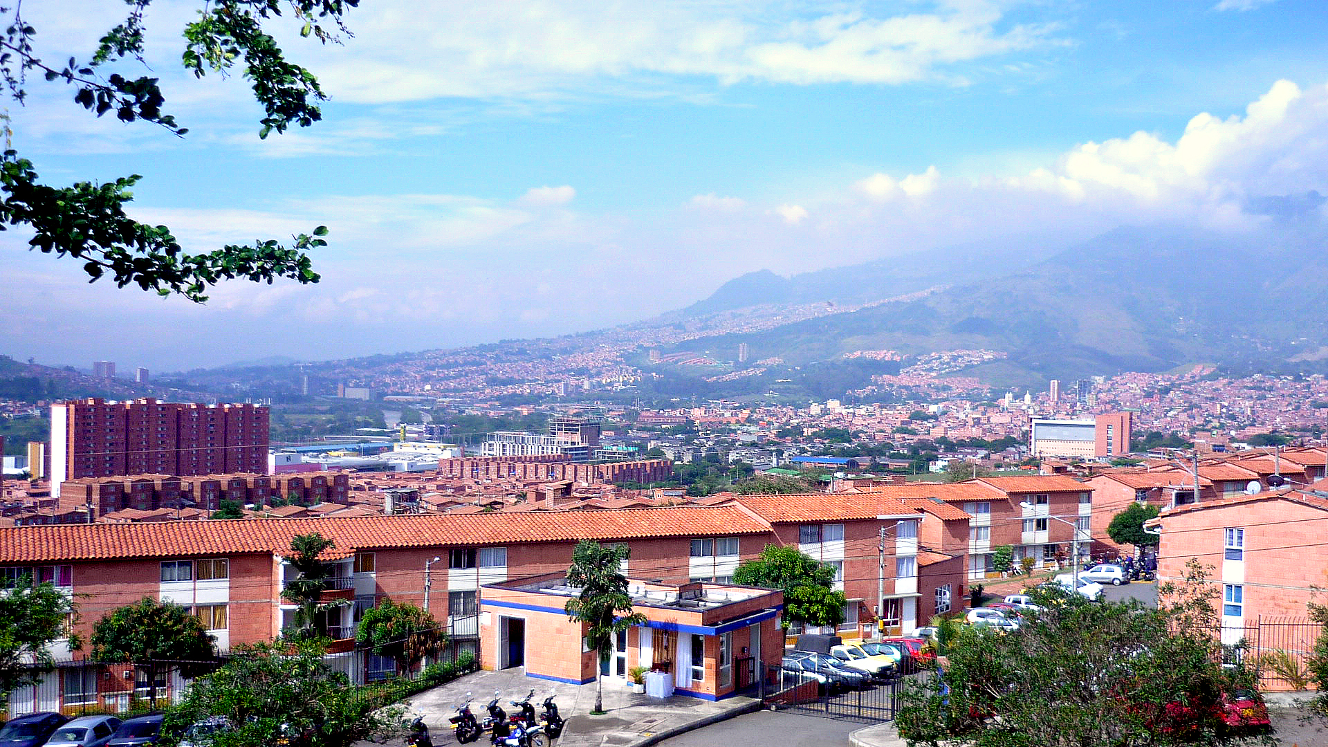
Catégories à La Ceja
les industries
Répartition des entreprises par secteur à La Ceja
| Description de l'industrie | Nombre d'établissements |
|---|---|
| Restaurants | 283 |
| Shopping | 249 |
| Épiceries et supermarchés | 135 |
| Boutiques de vêtements | 128 |
| Toute l'alimentation et les boissons | 104 |
| Magasin de bricolage | 92 |
| Immobilier | 70 |
| Appartements | 68 |
| Éducation | 64 |
| Gestion d'entreprise | 62 |
| Cafés | 57 |
| Instituts de beauté | 55 |
| Pharmacies | 51 |
Faits sur La Ceja
| Région | 111.4 km² |
| Population | 54 230 |
| Population masculine | 26 567 (49.0%) |
| Population féminine | 27 663 (51.0%) |
| Variation de la population (1975 to 2020) | +127.6% |
| Variation de la population (2000 to 2020) | +24.3% |
| Age moyen | 26.5 ans (Hommes : 25.5, Femmes : 27.6) |
| Voisinages | Santa Bárbara, Boston, Rosales, Castilla, Laureles |
| Heure locale | |
| Fuseau horaire | heure normale de Colombie |
| Lat. et long. | 6.03131, -75.43333 |
| Codes Postaux | 055010, 055017, 055018 |
Carte de La Ceja
Carte interactive
Population de La Ceja
Années 1975 à 2020
| Data | 1975 | 1990 | 2000 | 2015 | 2020 |
|---|---|---|---|---|---|
| Population | 23 830 | 36 315 | 43 626 | 50 724 | 54 230 |
| Densité de population | 213,8 / km² | 325,9 / km² | 391,5 / km² | 455,2 / km² | 486,6 / km² |
Variation de la population de La Ceja de 2000 à 2015
Augmentation de 16.3% de l'année 2000 à 2015
| Lieu | Variation depuis 1975 | Variation depuis 1990 | Variation depuis 2000 |
|---|---|---|---|
| La Ceja | +112.9% | +39.7% | +16.3% |
| Antioquia | +113.1% | +39.9% | +16.4% |
| Colombie | +94.6% | +40.7% | +19.4% |
Âge médian de La Ceja
Âge médian : 26.5 ans
| Lieu | Age moyen | Âge médian (femme) | Âge médian (masculin) |
|---|---|---|---|
| La Ceja | 26.5 yrs | 27.6 yrs | 25.5 yrs |
| Antioquia | 26.5 yrs | 27.5 yrs | 25.5 yrs |
| Colombie | 24.9 yrs | 25.8 yrs | 24.1 yrs |
Densité de population de La Ceja
Densité de population : 487 / km²
| Lieu | Population | Région | Densité |
|---|---|---|---|
| La Ceja | 54 230 | 111,4 km² | 487 / km² |
| Antioquia | 6,2 million | 63 141,8 km² | 98,3 / km² |
| Colombie | 47,8 million | 1 136 620,4 km² | 42,1 / km² |
Population historique et projetée de La Ceja
Population estimée de 1000 à 2100
- JRC (European Commission's Joint Research Centre) travailler sur GHS built-up grid
- CIESIN (Center for International Earth Science Information Network)
- [Lien] Klein Goldewijk, K., Beusen, A., Doelman, J., and Stehfest, E.: Anthropogenic land use estimates for the Holocene – HYDE 3.2, Earth Syst. Sci. Data, 9, 927–953, https://doi.org/10.5194/essd-9-927-2017, 2017.
Quartiers à La Ceja
Pourcentage d'entreprises par quartier à La Ceja
Codes Téléphone
Pourcentage des indicatifs régionaux utilisés par les entreprises de La Ceja
Distribution des prix
Répartition des activités par prix pour La Ceja
Indice de développement humain (IDH)
Indice composite statistique de l'espérance de vie, de l'éducation et du revenu par habitant.
Émissions de CO2 de La Ceja
Émissions de dioxyde de carbone (CO2) par habitant en tonnes par an
| Lieu | Emissions de CO2 | Émissions de CO2 par habitant | Intensité des émissions de CO2 |
|---|---|---|---|
| La Ceja | 159,821 tn | 2.95 tn | 1,434.2 tons/km² |
| Antioquia | 18,178,412 tn | 2.93 tn | 287.9 tons/km² |
| Colombie | 116,035,326 tn | 2.43 tn | 102.1 tons/km² |
| Émissions de CO2 en 2013 (tonnes/an) | 159,821 tn |
| Émissions de CO2 en 2013 (tonnes/an) par habitant | 2.95 tn |
| Intensité des émissions de CO2 en 2013 (tonnes/km²/an) | 1,434.2 tons/km² |
Risque de dangers naturels
Relative risk out of 10
| Danger | Risk Level |
|---|---|
| Drought | Medium (7) |
| Flood | High (10) |
| Earthquake | Medium (6.9) |
* Risk, particularly concerning flood or landslide, may not be for the entire area.
- Dilley, M., R.S. Chen, U. Deichmann, A.L. Lerner-Lam, M. Arnold, J. Agwe, P. Buys, O. Kjekstad, B. Lyon, and G. Yetman. 2005. Natural Disaster Hotspots: A Global Risk Analysis. Washington, D.C.: World Bank. https://doi.org/10.1596/0-8213-5930-4.
- Center for Hazards and Risk Research - CHRR - Columbia University, Center for International Earth Science Information Network - CIESIN - Columbia University, and International Research Institute for Climate and Society - IRI - Columbia University. 2005. Global Drought Hazard Frequency and Distribution. Palisades, NY: NASA Socioeconomic Data and Applications Center (SEDAC). https://doi.org/10.7927/H4VX0DFT.
- Center for Hazards and Risk Research - CHRR - Columbia University, Center for International Earth Science Information Network - CIESIN - Columbia University. 2005. Global Flood Hazard Frequency and Distribution. Palisades, NY: NASA Socioeconomic Data and Applications Center (SEDAC). https://doi.org/10.7927/H4668B3D.
- Center for Hazards and Risk Research - CHRR - Columbia University, Center for International Earth Science Information Network - CIESIN - Columbia University. 2005. Global Earthquake Hazard Distribution - Peak Ground Acceleration. Palisades, NY: NASA Socioeconomic Data and Applications Center (SEDAC). https://doi.org/10.7927/H4BZ63ZS.
Tremblements de terre récents à proximité
Magnitude 3.0 et plus
| Date▼ | Heure↕ | Magnitude↕ | Distance↕ | Profondeur↕ | Lieu↕ | Lien |
|---|---|---|---|---|---|---|
| 2/14/19 | 9:09 PM | 4.5 | 85.5 km | 68,110 m | 18km WSW of Betania, Colombia | usgs.gov |
| 4/24/18 | 11:25 PM | 3.7 | 96.8 km | 10,000 m | 4km W of Mistrato, Colombia | usgs.gov |
| 4/23/18 | 3:42 PM | 5.3 | 94.2 km | 110,030 m | 3km NW of Neira, Colombia | usgs.gov |
| 1/19/17 | 12:01 PM | 4.7 | 80.3 km | 64,450 m | 14km WNW of Ciudad Bolivar, Colombia | usgs.gov |
| 11/30/16 | 5:42 PM | 3.6 | 55.8 km | 28,000 m | 10km WSW of Ebejico, Colombia | usgs.gov |
| 5/14/14 | 7:05 PM | 4.2 | 90.9 km | 71,310 m | 12km SSW of Yarumal, Colombia | usgs.gov |
| 7/6/11 | 4:16 AM | 4.7 | 83 km | 36,000 m | Colombia | usgs.gov |
| 1/13/09 | 7:47 PM | 4.7 | 82.8 km | 58,400 m | Colombia | usgs.gov |
| 4/24/07 | 8:53 AM | 5.1 | 67.7 km | 52,600 m | Colombia | usgs.gov |
| 4/27/04 | 5:38 AM | 4.1 | 92.3 km | 57,900 m | northern Colombia | usgs.gov |

À propos de nos données
Les données de cette page sont estimées à l'aide de divers outils et ressources accessibles au public. Elles sont fournies sans garantie et peuvent contenir des inexactitudes. Utilisez-les à vos risques et périls.